Facebook
 Google
 GitHub
 Linkedin
Hi all,
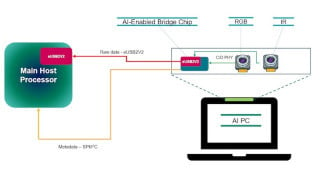
I’m working on a project to build a drone that can detect potholes and other road surface issues. My plan is for it to fly at a distance of 15-20 km from the operator and detect these problems using onboard processing. I know I’ll need a good camera, a capable processor, and a reliable communication system, but I’m not entirely sure what specifications would be best. I’m also worried I might be missing some important details that could impact performance down the line.
I want to make sure I don’t overspend but also don’t want to use components that will limit performance as the project evolves. Any guidance to point me in the right direction would be really helpful! Here are the specifications I’m thinking of (though I realize some might be a bit ambitious):
- Range: Ideally, the drone should work at up to 30 km from the operator and fly at altitudes of 4–6 km.
- Camera: A camera that can spot road defects from about 1 km altitude would be great, but I’m willing to lower the drone closer to the ground if necessary. It would also be a bonus if it had infrared (IR) capabilities for low-light or night-time use.
- Battery Life: A flight time of around 5-6 hours to cover a large area in one go.
- Processing Power: The drone should be able to handle real-time image processing onboard (maybe with a GPU?) and create a 2D map marking detected road issues.
- Environmental Tolerance: It needs to handle temperatures between -10°C to 50°C (14°F to 122°F).